Use these icons: Email us, Facebook Page, Instagram, Twitter, iTunes for podcasts, and our Youtube channel
Goat Lake
DARRINGTON MOUNTAIN LOOP AREA
Miles: 10.5 roundtrip
Elevation: 1,400 feet gained
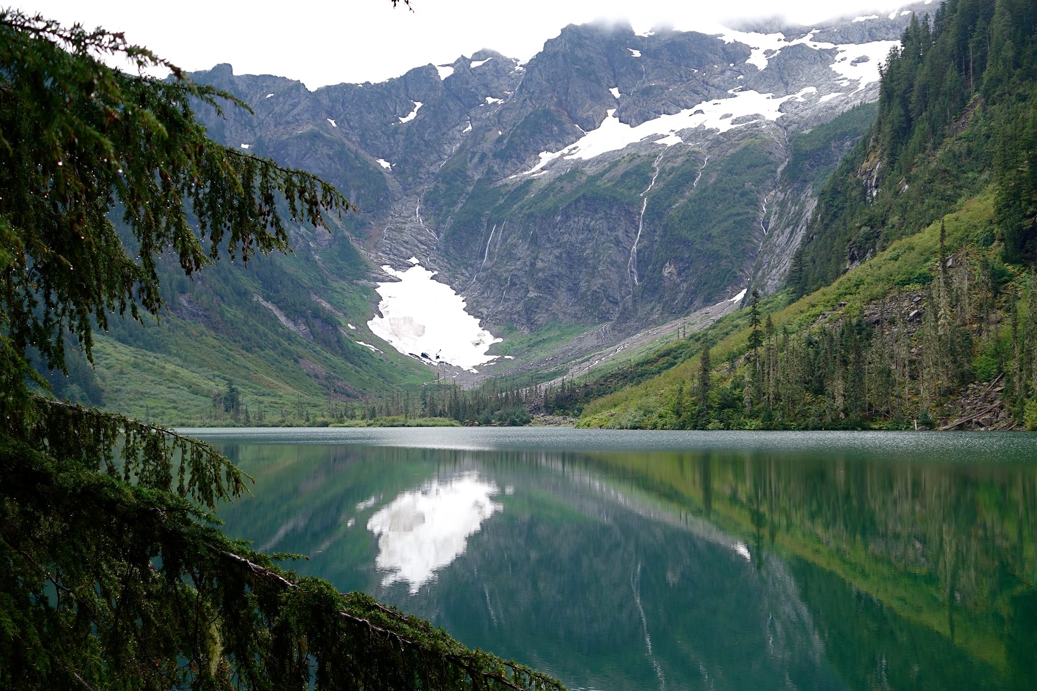
Photo courtesy of Ed Hogle
The first quarter mile is on an old road which intersects with the Elliot Creek Trail, an alternative route. At about three and a half miles, the creek trail reconnects from below. At this point the trail enters an old growth forest just before you reach the lake, here is impressive McIntosh Falls. Goat Lake is a cirque style lake that has a history of mining, having been found by miners coming over the cliffs from the town of Monte Cristo.
- Get there: Follow Highway 530 to the major four-way stop at the gas station in downtown Darrington. Turn right and continue nearly 22 miles and turn left onto FS road 4080. This road should be marked for Goat Lake, and the trailhead is a short way at the end of this road.