Use these icons: Email us, Facebook Page, Instagram, Twitter, iTunes for podcasts, and our Youtube channel
Mount Pugh
DARRINGTON MOUNTAIN LOOP AREA
Miles: 9 miles roundtrip to Stujack
11 miles roundtrip to summit
Elevation: 3,800 feet gained to Stujack
5,300 feet gained to summit
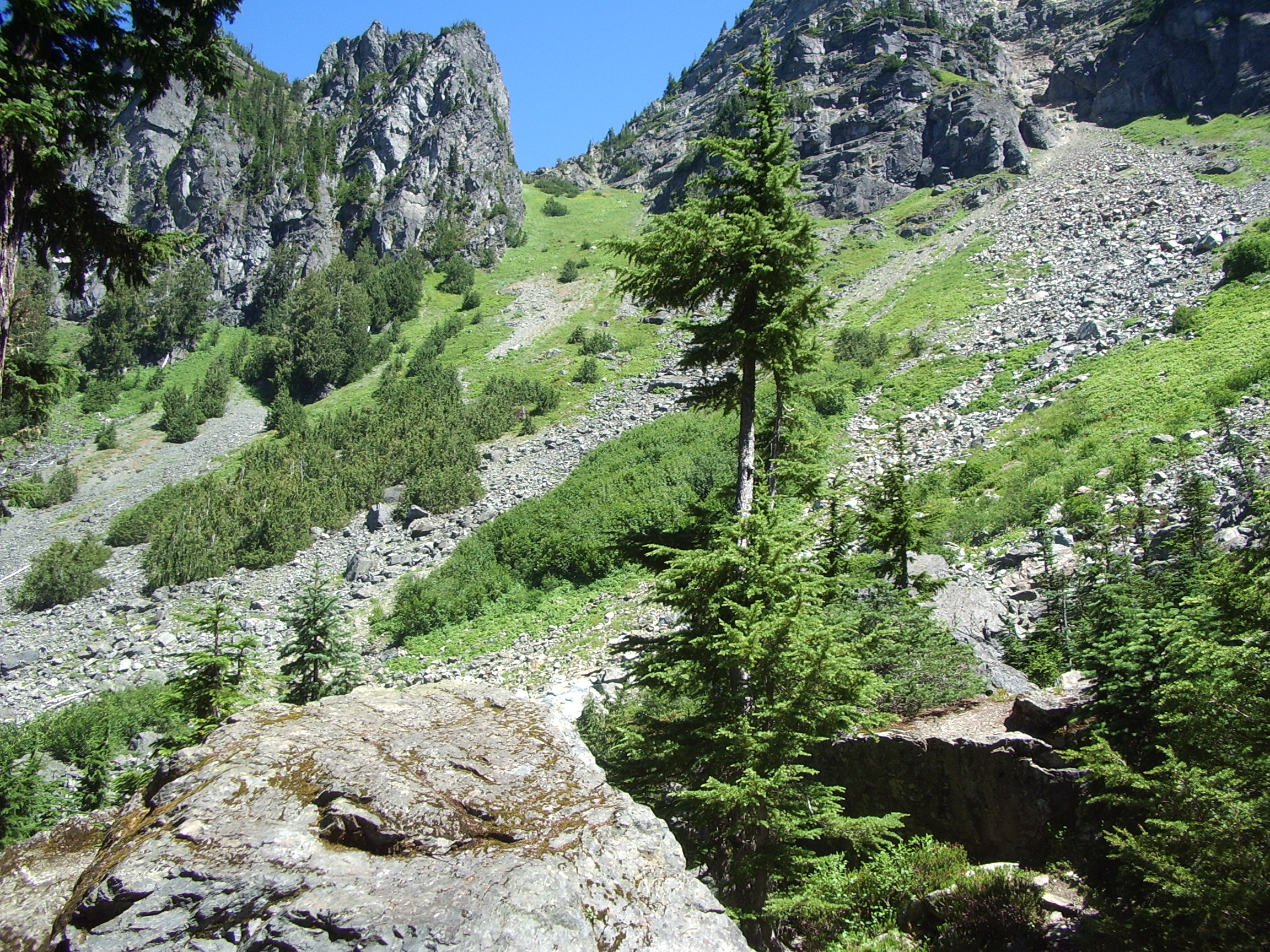
Starting this hike, you know that forest service history is looming above you. The first mile and a half of the trail is in a cool forest, sometimes switchbacking upward and other times crossing the small streams falling down the hillside. Views are limited as the trail passes Lake Metan, which isn’t exactly inviting. Still in the forest the trail starts to steepen.
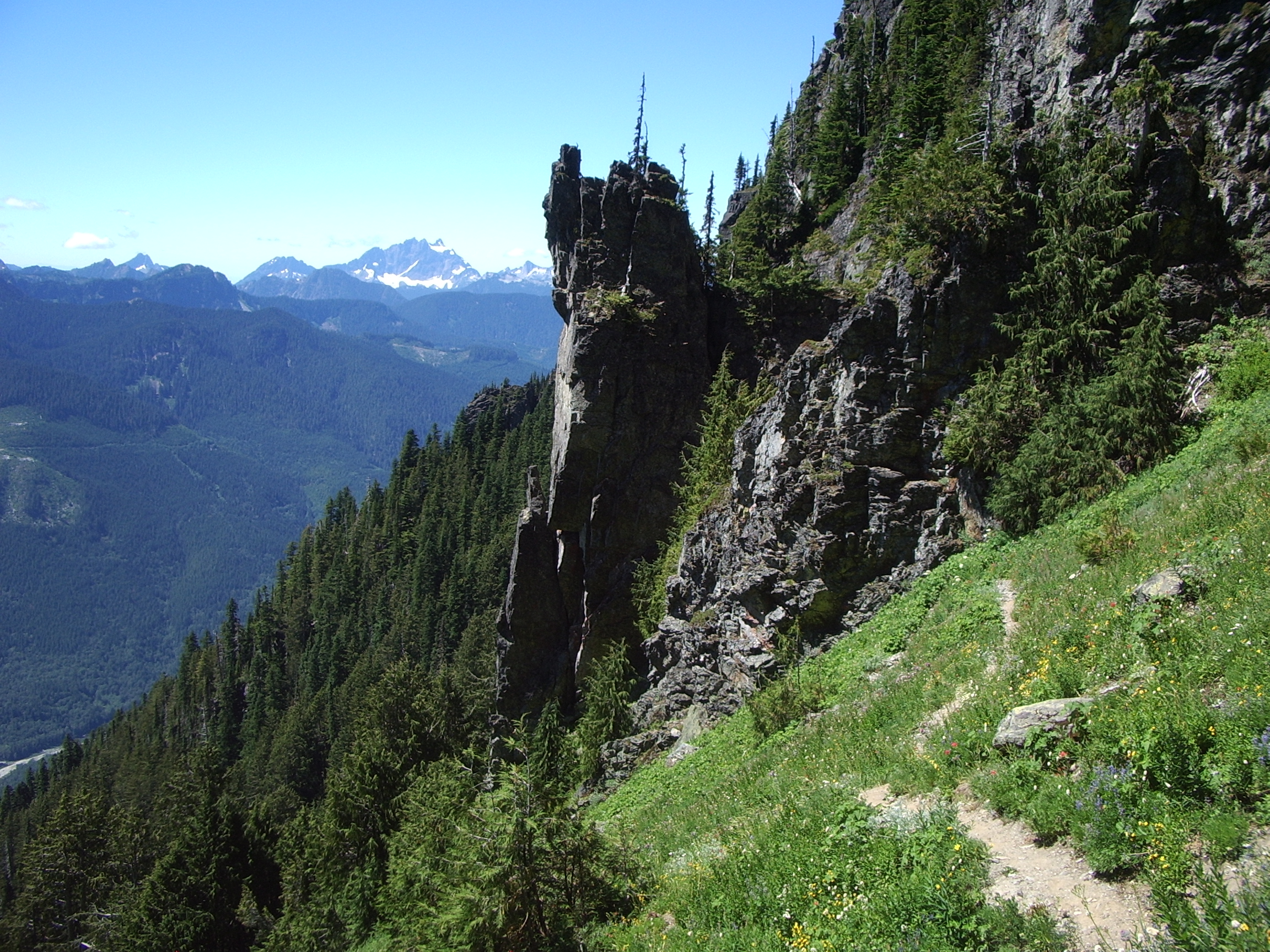
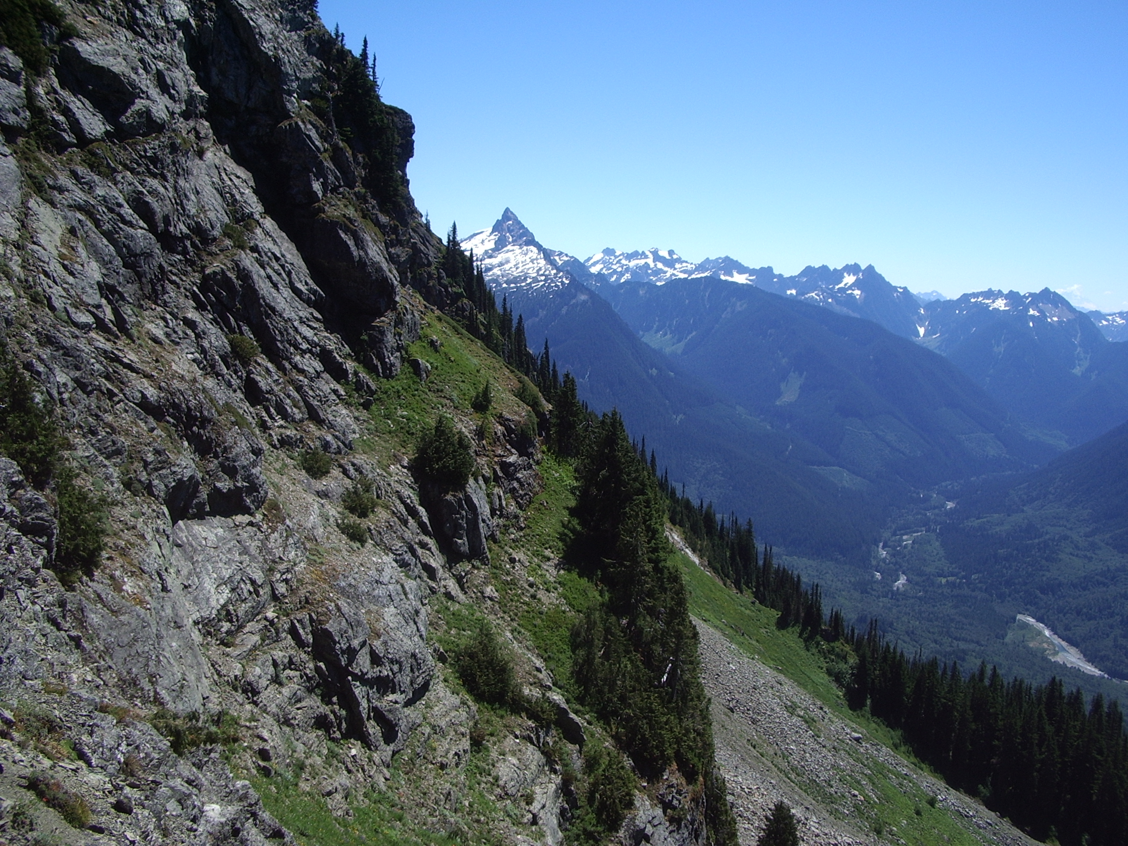
Boulders replace the trees and soon Stujack Pass is visible above as you find yourself in a basin. Rest in the last few trees before making a final push to the Pass, keeping your hopes up here for hitting the wildflower season. Switchbacks bring views and eventually you greet Stujack Pass at about 5,700 feet. Whitechuck Mountain is now right in from of you. Shade can be found here. Use it to soak in the views and let your body rest a bit.
A trail continues up to the summit, though some will call Stujack Pass their destination. The trail to the summit is more of a scramble that is often used by average hikers. Notice the history fro this point on. The lasted trail and an old tram can be spotted by perceptive hikers. Mount Pugh is the mass between the Sauk River and the Whitechuck River and that can be obvious here, high above both valleys.
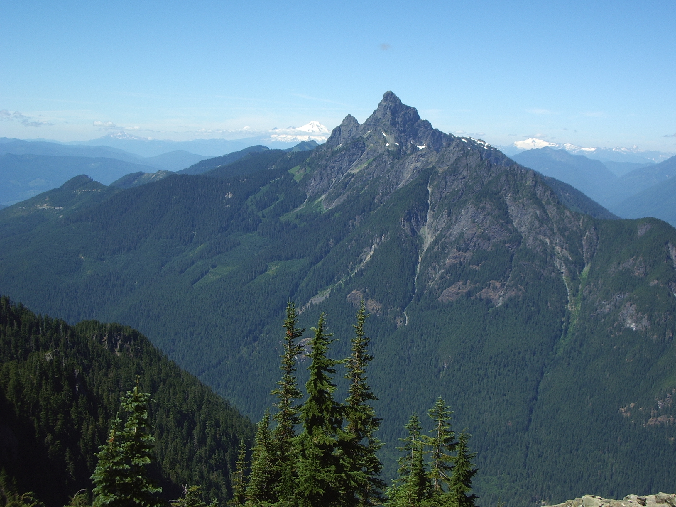
The renowned knife edge has turned some average hikers around, but passed it there is no technical climbing to the summit. Some early hands on scrambling is the hardest it gets. The top! Of course the area giant, Glacier Peak, claims most of the views. All of the popular peaks from the Mountain Loop area can be seen from the summit though. Mounte Cristo Peaks, Sloan Peak and Whitechuck are the closest, and further out views of Mount Rainier, Mount Baker and the Olympics can be seen.
The history at Mount Pugh summit started in 1916, when they used a tent and alidade. In 1919 a cabin was built and used until it was destroyed by lightning and rebuilt in 1927. 1965 was the final year for the lookout cabin as it was removed.
- Get there: Follow Highway 530 to the major four-way stop at the gas station in downtown Darrington. Turn right and continue 12 miles and turn left on FS road 2095, hopefully a trail sign will mark your turn. The trailhead is one and a half miles up.